Skip to main content
Main navigation
About
Data
American Industry in Bikol
Robin Meyer-Lorey and Stephen Acabado
Article figures
Displaying 1 - 10 of 10
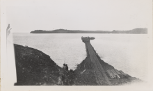
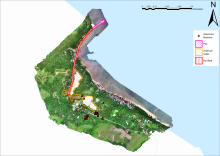
Figure 1
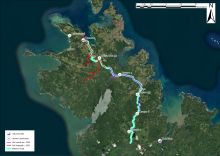
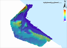
Figure 2
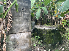
Figure 3
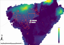
Figure 4
Figure 5
Figure 6
Figure 7
Figure 8
Figure 9
Figure 10