Main navigation

  • About
  • Data
Home
American Industry in Bikol
Robin Meyer-Lorey and Stephen Acabado

Data

Modern drone photographs

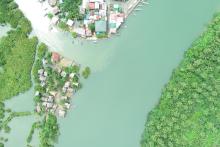
drone photo of Tamban
Tamban Drone Photo 3
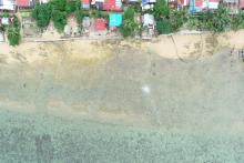
drone photo of Tandoc
Tandoc Drone Photo 2
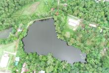
drone photo of Tandoc
Tandoc Drone Photo 5
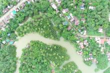
drone photo of Tamban
Tamban Drone Photo 1
View all modern drone photographs

Article figures

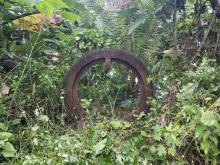
gear that has been turned into a memorial
Figure 1
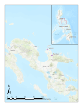
map of Bikol region, with sites Tandoc and Tamban marked
Figure 2
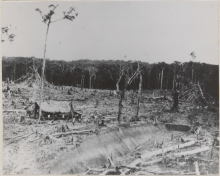
hut surrounded by felled trees
Figure 3
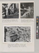
workers on a rail track
Figure 4
View all article figures

Supplemental figures

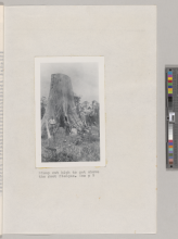
scanned page of photographs
Supplemental Figure 1
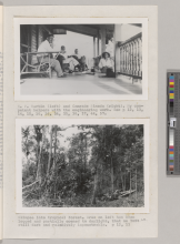
scanned page of photographs
Supplemental Figure 2
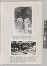
scanned page of photographs
Supplemental Figure 3
scanned page of photographs
Supplemental Figure 4
View all supplemental figures

Archival aerial photographs

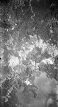
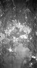
Frame 16a (reduced size)
NARA Frame 16a
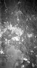
Frame 17 (reduced size)
NARA Frame 17
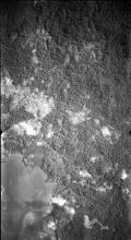
Frame 18 (reduced size)
NARA Frame 18
Frame 19 (reduced size)
NARA Frame 19
View all archival aerial photographs

Butauanan figures

partially logged forest
Partially Logged Forest
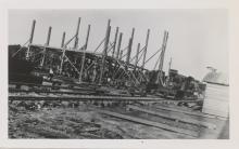
new mill site
New Mill
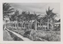
a row of American homes
American Homes
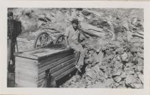
mitch canteen sitting on rock crusher
Mitch Canteen (Remeroff)
View all Butauanan figures

Modern ground photographs

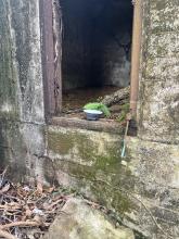
stone structure with inset rusted frame
Ground Photo 1
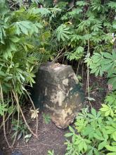
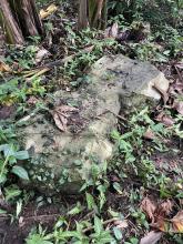
stone structure
Ground Photo 2
stone structure
Ground Photo 3
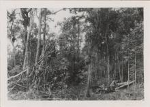
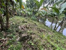
forest
Ground Photo 4
View all modern ground photographs


Figure 6 - Map

View details

Industrial Remains

View details

Place Names

View details

Digital Archaeology Lab
www.dal.ucla.edu
dal@ioa.ucla.edu

A210 Fowler Building/Box 951510 
308 Charles E. Young Dr. North 
University of California, Los Angeles 
Los Angeles, CA 90095