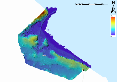
Figure 10
Lidar elevation model of Tandoc shows the features highlighted in Figure 9 even more clearly. The full extent of the artificial lakes is shown; the dams used to retain water are visible at the northern end of each lake. The raised rail bed leading to the pier, on top of which the modern road is paved, is also clearly visible.
Item record
Publication
Manifest Destiny in Southeast Asia: Archaeology of American Colonial Industry in the Philippines, 1898–1987
Data type
Creator
Collection
Geographic terms

