Map to cross the ocean origin
1962
Map to cross ocean originated in the U.S. Navy Hydrographic Office, in 1962.

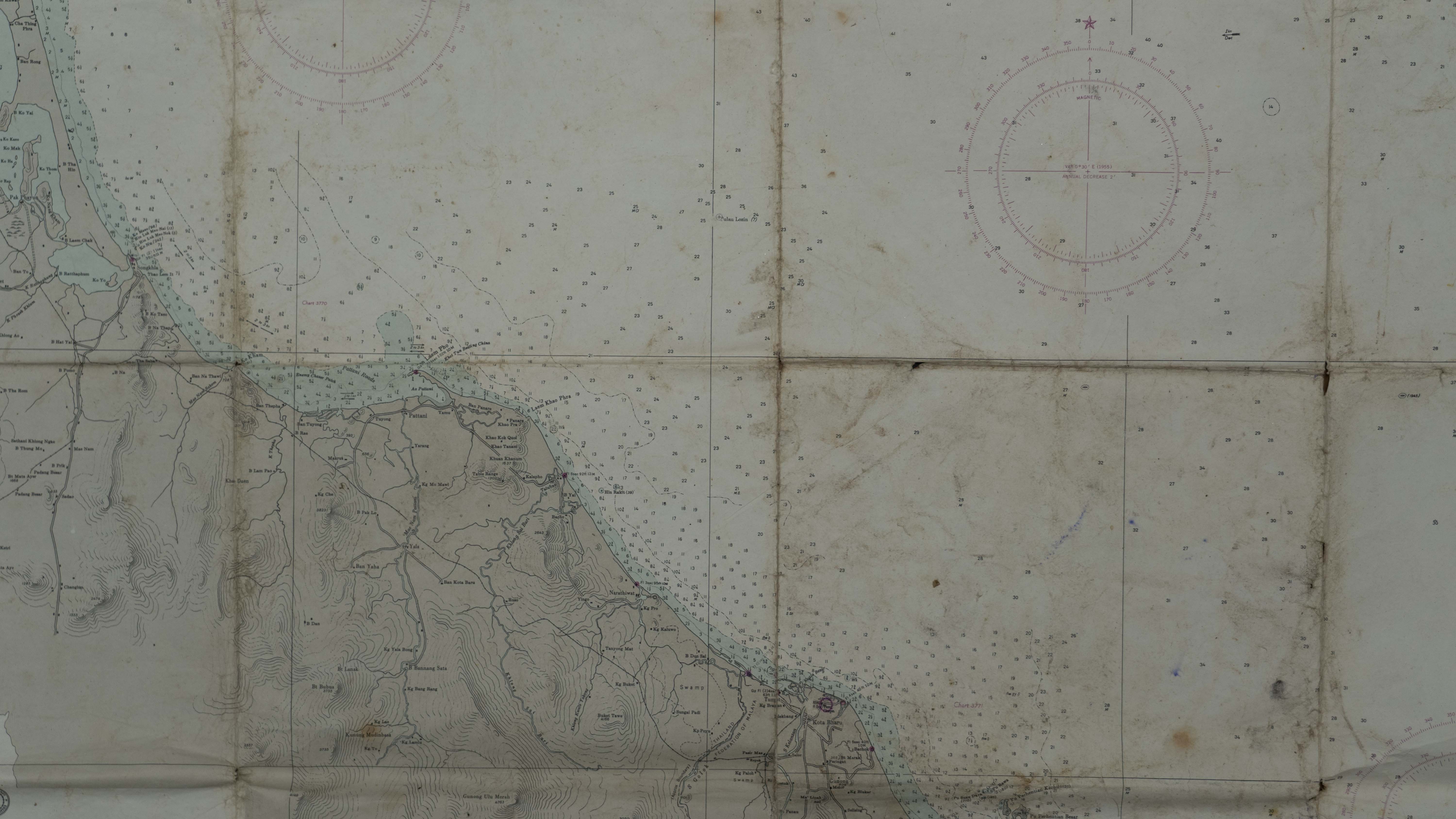
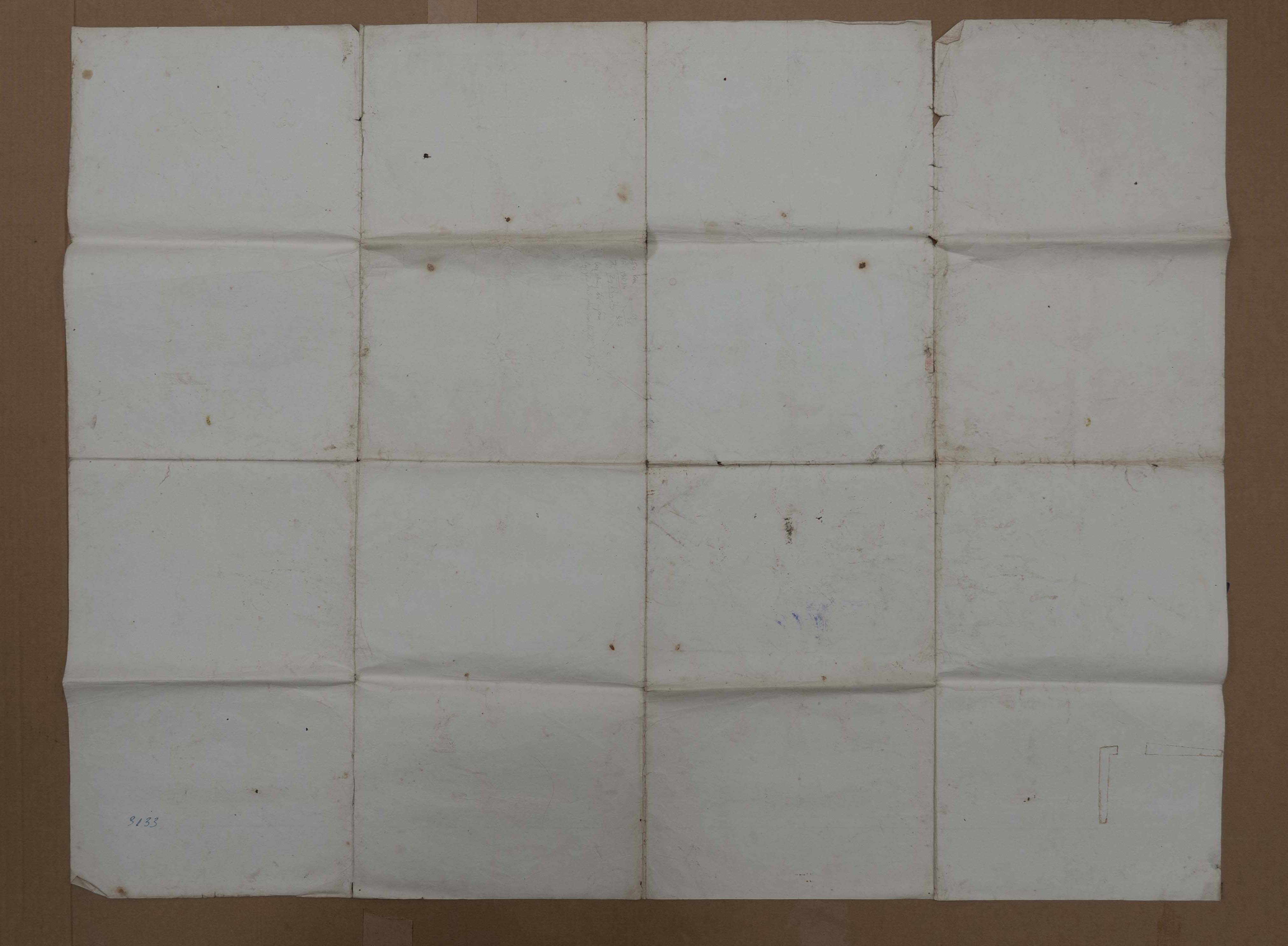
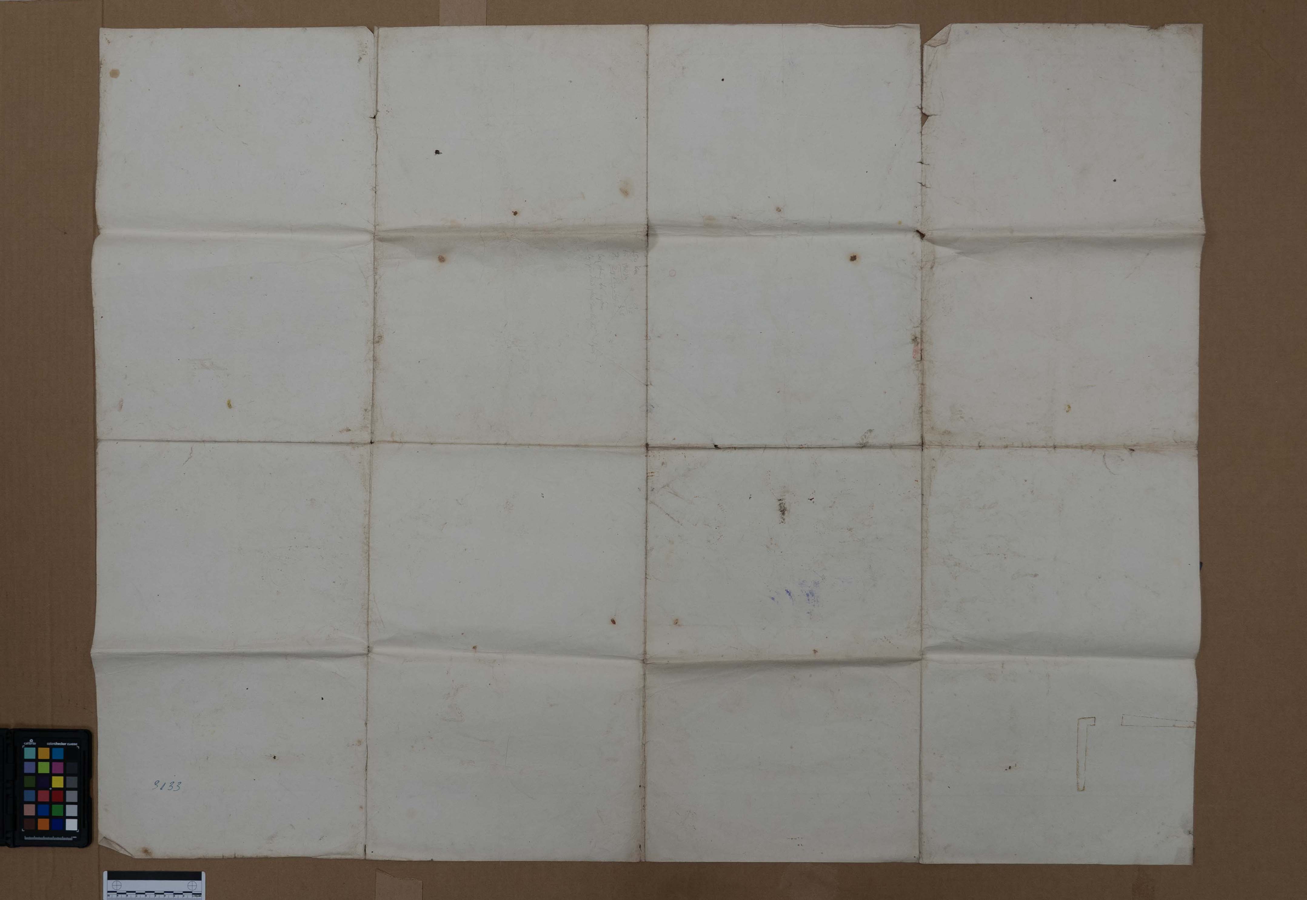
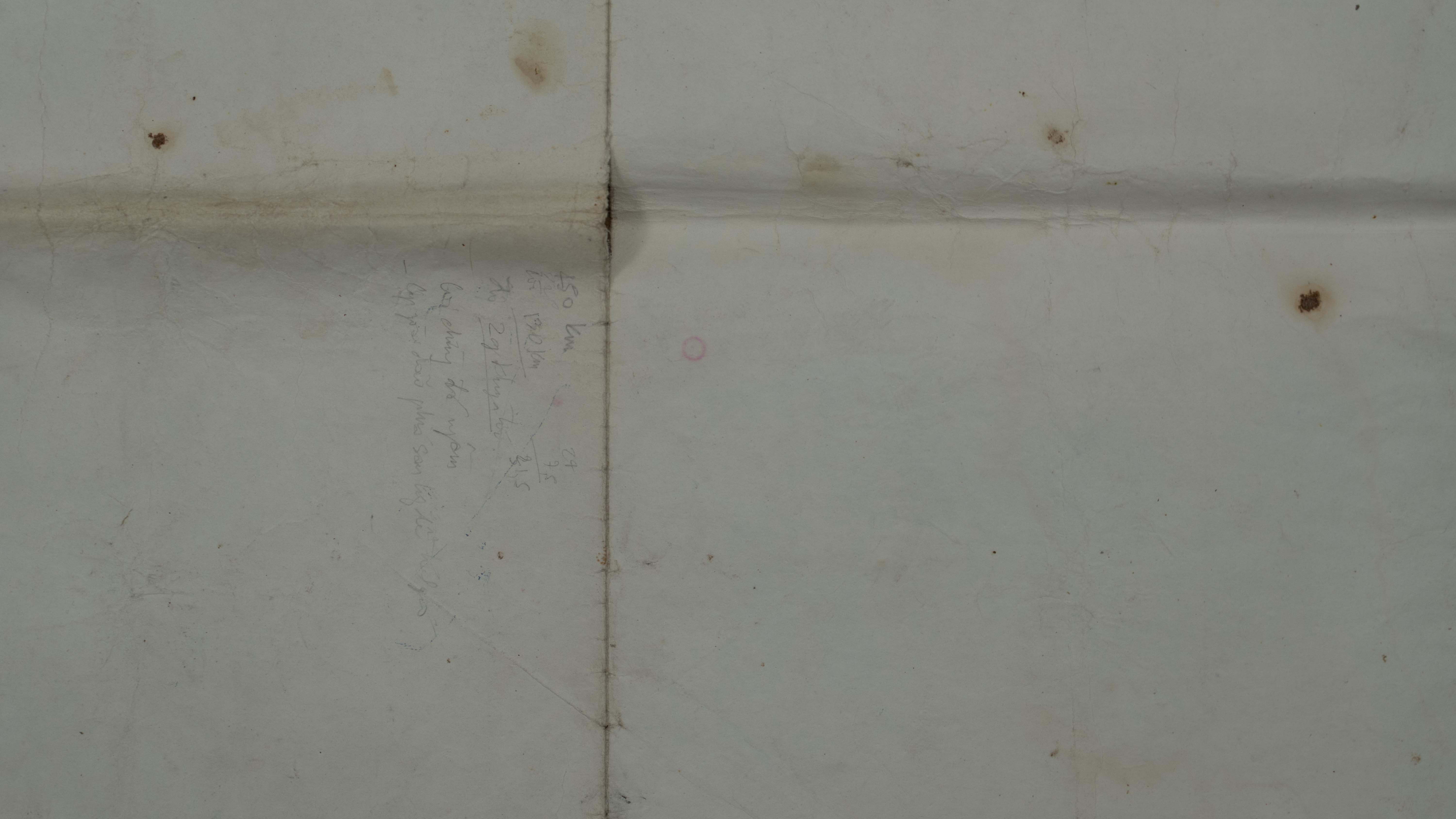
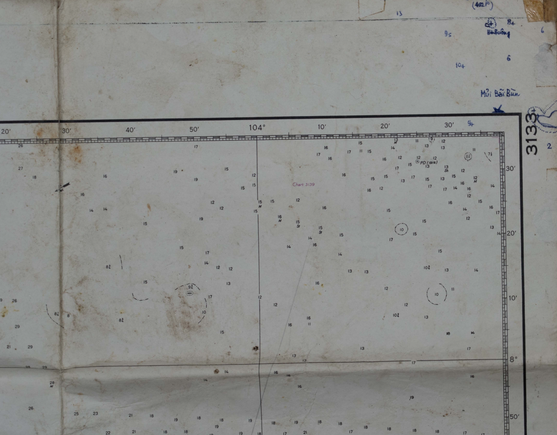
U.S. Navy Hydrographic Office chart titled Kuala Trengganu to Nakhon Roads (H.O. 3133). Nautical chart showing the Gulf of Siam and the east coast of the Malay Peninsula, with handwritten Vietnamese notes and calculations.
Object donated to the Vietnamese Heritage Museum by Hao Tam Trinh
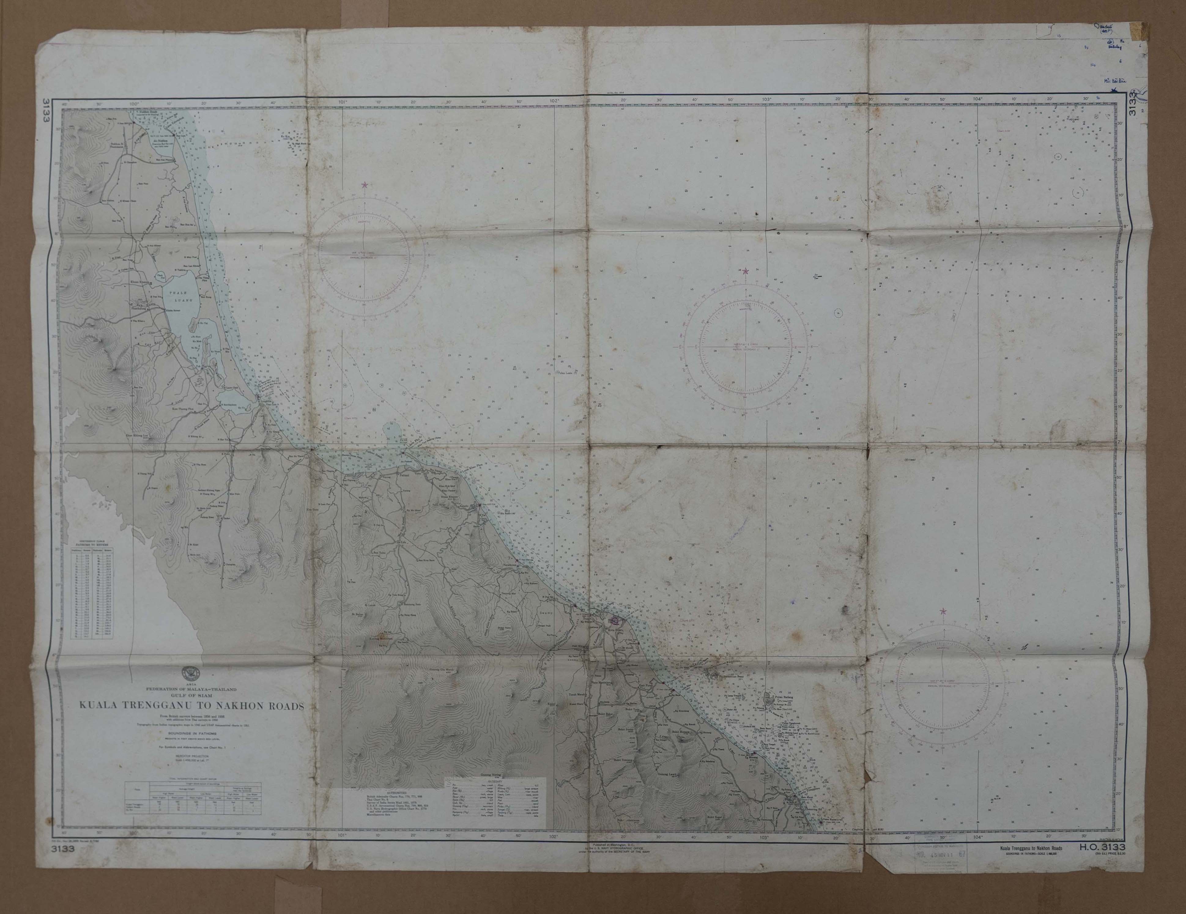
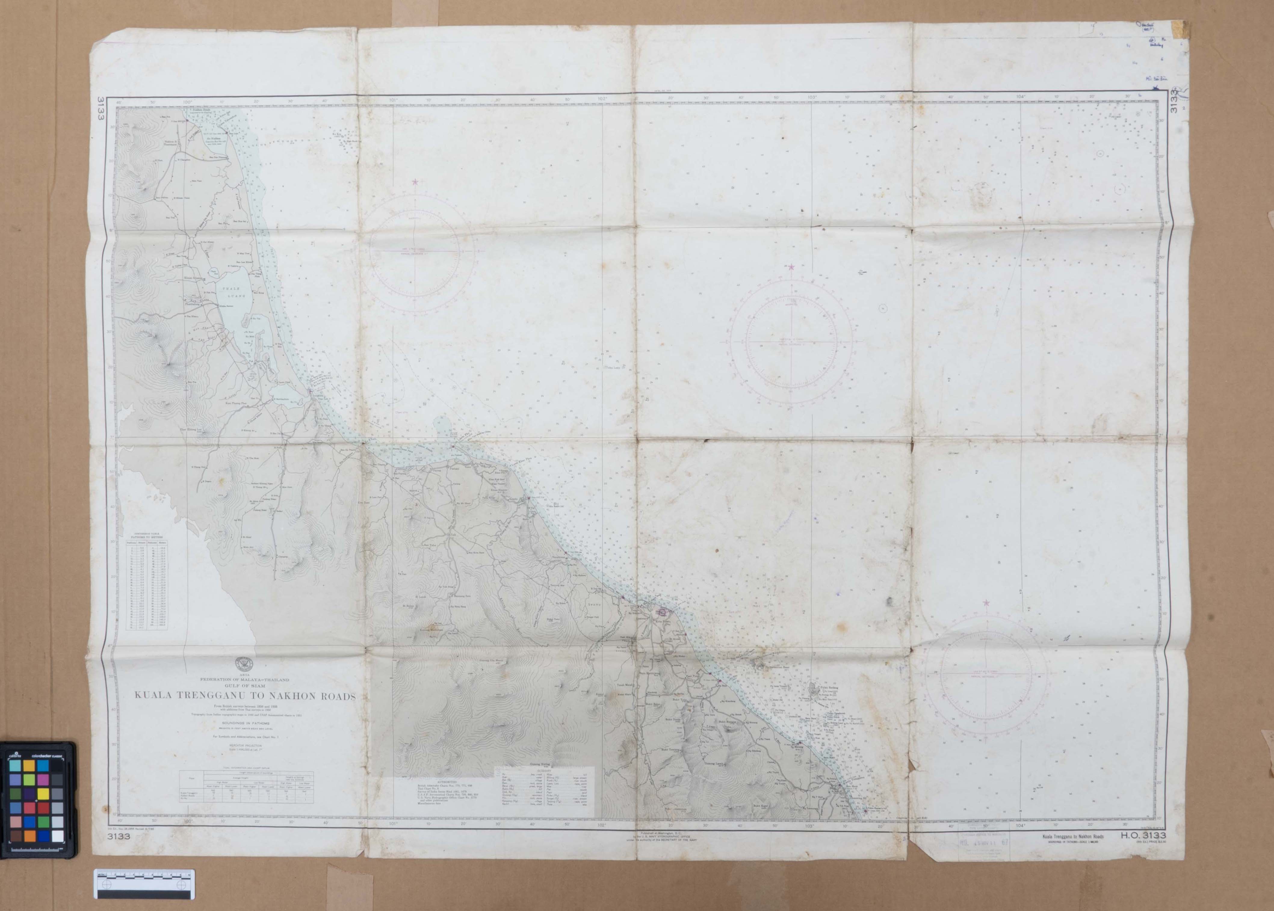
Map to cross ocean originated in the U.S. Navy Hydrographic Office, in 1962.